Classified Dossier
The Hidden Truth
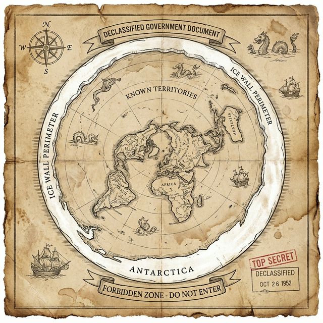
For centuries, they have kept the truth hidden from the masses. The Earth is not a spinning ball hurtling through infinite space. It is a stationary plane, protected by an ice wall that surrounds the known continents.
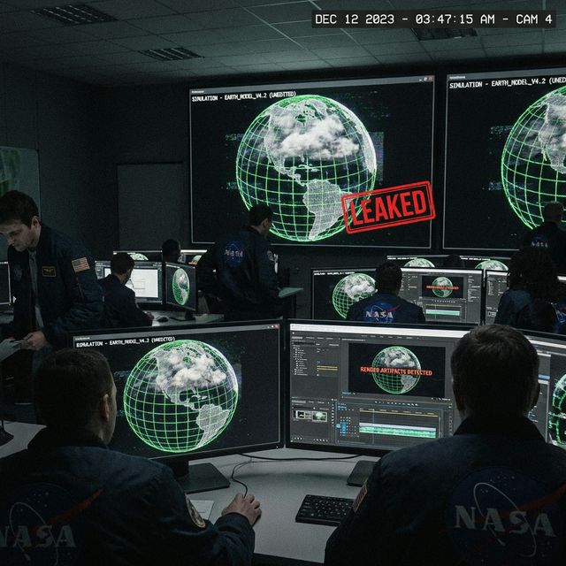
Every photograph of the "globe" you've seen is a computer-generated image. NASA has admitted this publicly. The Antarctic Treaty of 1959 was signed by competing world powers for one reason: to guard the perimeter.
- No independent explorer has ever circumnavigated Antarctica
- Commercial flight paths avoid the South Pole entirely
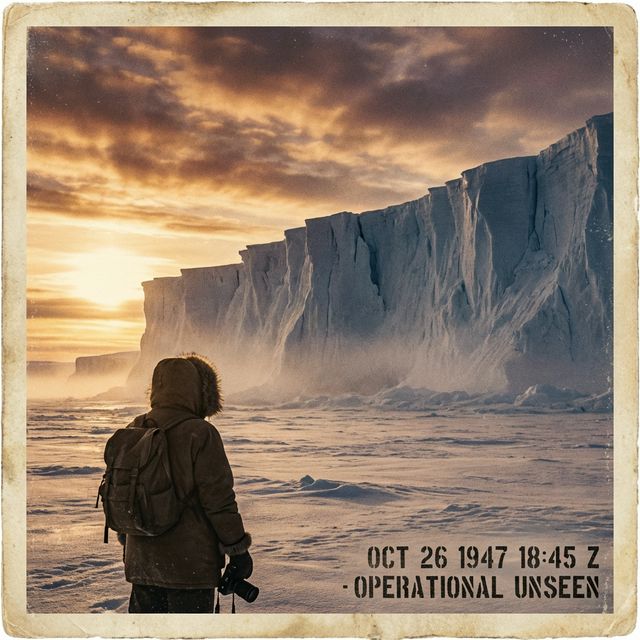
- Admiral Byrd's secret expeditions discovered land "beyond the ice"
- Operation Fishbowl: Nuclear tests against the firmament
- All space agencies share the same edited footage
"There is land beyond the Pole that is not on any map."
— Admiral Richard E. Byrd, 1947
Known Operations
Government agencies worldwide have invested billions into maintaining the deception. Here are the documented programs designed to perpetuate the lie:
- Operation Fishbowl (1962) — High-altitude nuclear tests to probe the dome
- Project Blue Beam — Holographic technology for fake "space" imagery
- Antarctic Treaty System — International agreement to restrict civilian access
- NASA Budget Allocation — $22 billion annually for CGI and propaganda
- SpaceX Falcon "Landing" — Reverse footage proven by frame analysis
The Evidence They Can't Hide
Despite their best efforts, the truth leaks through. Pilots, engineers, and whistleblowers have come forward with testimony that contradicts official narratives:
- No pilot has ever had to adjust for "curvature" in flight calculations
- Gyroscopes on aircraft remain perfectly level over thousands of miles
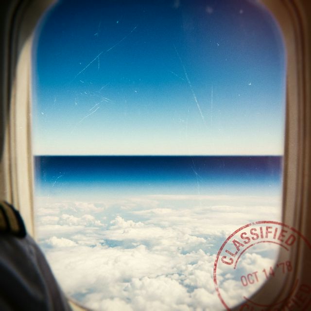
- Water always finds its level — it cannot curve around a ball
- We can see objects at distances impossible on a curved surface
- The Bedford Level Experiment proved flatness in 1838
- Stars have maintained the same positions for thousands of years
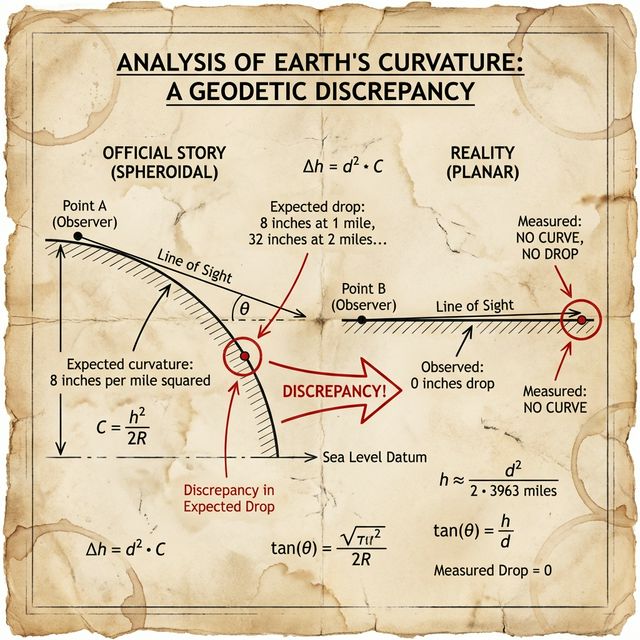
The mathematics is simple. On a globe with a radius of 3,959 miles, there should be 8 inches of curvature per mile squared. At 10 miles, that's 66 feet of hidden surface. Yet we can regularly photograph objects at these distances with no hidden portion.
ALL CONVINCING EVIDENCE VIDEOS HAVE BEEN REMOVED
What remains on mainstream platforms are carefully curated videos designed to display low-IQ individuals — framing truth-seekers as mentally deficient.
This is a deliberate psychological operation.
Legitimate research, scientific analysis, and documentary evidence is being actively monitored and systematically deleted across YouTube, Vimeo, and other controlled platforms.
They are watching. They are afraid. The truth cannot be contained forever.
Wake Up
You've been programmed since childhood to accept a heliocentric model without question. Every textbook, every documentary, every "expert" repeats the same script because the funding depends on compliance.
Ask yourself: Why is Antarctica the only continent with restricted access? Why has no one ever photographed the "curve" from sea level? Why do all "live" space feeds cut out when passing over certain regions?
The truth is flat. The evidence is all around you. You just have to open your eyes.